Skip to content
What is GPS Forensics?
Many people wear personal navigation devices like fitness trackers or digital watches while running, bicycling, or driving their car. These devices hold important GPS forensics information from orbiting navigation satellites that can place someone at the scene of a crime. Or, they can prove an alibi, or show critical details of a motor vehicle accident or distracted driving case. This accurate GPS forensic evidence is complete with latitude, longitude, elevation, and often speed or velocity. The geolocation evidence also includes critical metadata like date and time stamps and accuracy measurements that go to reliability. Together, it paints a clear picture of the user’s whereabouts. More importantly, GPS forensics using geolocation data can solve an investigation and close the case.
How Does GPS Forensics Work?
Our GPS forensic experts work with industry-leading tools that support personal navigation devices, including GPS units from Garmin, TomTom, and Magellan. They also decode smartphone navigation apps popular with today’s users, including Google Maps, Waze, and Apple Maps. Phone experts can also recover GPS data from social media apps like Facebook, Snapchat, and Foursquare. Furthermore, they can extract GPS locations from photographs and videos snapped or captured using the iPhone or Android smartphone’s onboard camera. Our leading, advanced GPS forensic tool thoroughly carves unavailable or deleted device locations and is integral to evidence recovery.
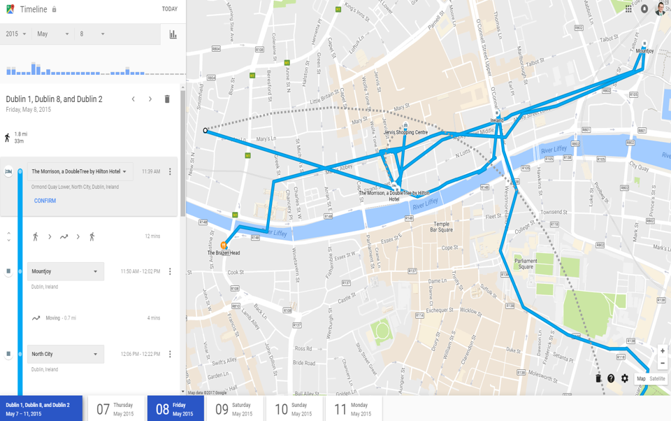
Carney Forensics can help you produce geolocation evidence relevant to your case from waypoints, routes, and favorite locations saved by users. Our GPS forensics experts also recover track points and logs recorded by personal navigation and GPS devices in motion. Our phone experts organize all that accurate geolocation evidence and produce it using Google Maps, Google Earth, and mapping software from Microsoft and Garmin. Why? So our expert witnesses can present your evidence visually and persuasively to the jury, judge, or opposing counsel during settlement talks or mediation.
How Does Cell Site Analysis Measure Up to GPS Evidence?
Using cell phone business records provided by Verizon, AT&T, or T-Mobile to perform cell site analysis to accurately track user movement and locations is problematic for several reasons. The first is the tracking problems caused by electromagnetic interference in low-lying terrain, as well as signal obstructions from pine tree foliage outdoors or elevators indoors. Other reliability problems include cell tower failures, outages, and maintenance at the time of the legal incident. Accuracy problems stem from urban versus rural cell tower density and the lack of cell tower propagation maps contemporaneous with the incident.
Some in our industry refer to cell site analysis as junk science. We practiced it in the past with an advanced tool developed by former law enforcement officers based on accurate cell tower propagation maps. But we let our license for the tool lapse. Why? Because a far superior method of GPS forensics recovery exists. We recover it exclusively today using mobile device forensic tools and advanced GPS forensics analysis.
Our GPS forensic experts rely on cell phone forensics to recover accurate and precise geolocation evidence from GPS navigation satellites received and stored in iPhones and Android smartphones. Our phone experts prefer to testify in court, not on evidence based on imprecise cell site analysis of carrier business records, but instead armed with accurate, precise GPS locations and self-validating error rates obtained directly from low-earth orbiting navigation satellites. That is best evidence when it comes to GPS forensics.